
If you love maps and trying to see how real track layouts could be made into a model, and you’ll happily spend hours poring over Ordnance Survey maps, archive maps, route diagrams and rail maps, this is a wonderful resource. It’s a map of the London transport network, over and underground, and the site’s well worth a visit.
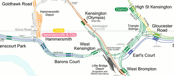
Created by French mappers carto.metro, the map offers a load of fascinating detail about the capital’s network, letting you follow track layouts, opening and closing dates, crossovers, sidings, closed stations, disused lines and platform positions.
Look at this fantastic map – and others from Europe – HERE. I found the original reference at the Urban75 blog.
